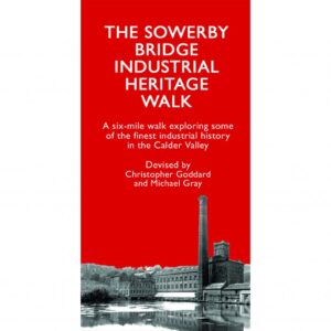
A new walking route by Yorkshire map-maker Chris Goddard passes through Dixon Scar Woods. The route, outlined in a fold-out leaflet, is a six-mile walk exploring some of the finest preserved industrial heritage in the Calder Valley.
Sowerby Bridge retains a remarkable amount of the industrial fabric that helped put this part of the Calder Valley on the map in the late 18th and 19th centuries. Some of the oldest and most significant mill complexes in the county are complemented by grand yeoman clothiers’ houses and cottages with mullioned windows from an earlier age of the weaving industry, as well as the railways, canals and roads that developed before and during the Industrial Revolution.
This six-mile walk starts at Sowerby Bridge railway station and explores many of these sites as well as the breathtaking landscape around them. Alongside the hand-drawn map is a wealth of information about the history of the area.
The walk is a collaboration between Christopher Goddard and local industrial historian Michael Gray from Calderdale Industrial Museum. You can buy the map from Artichoke on West Street or direct from Chris’s website.


